Advancing Sustainable Land Use Planning: DLPP GIS Officers Undergo Specialist Training on LUIMS
GIS officers from Papua New Guinea's DLPP began LUIMS training on 12 March 2025, enhancing sustainable land-use planning through a partnership with Mammoth Geos
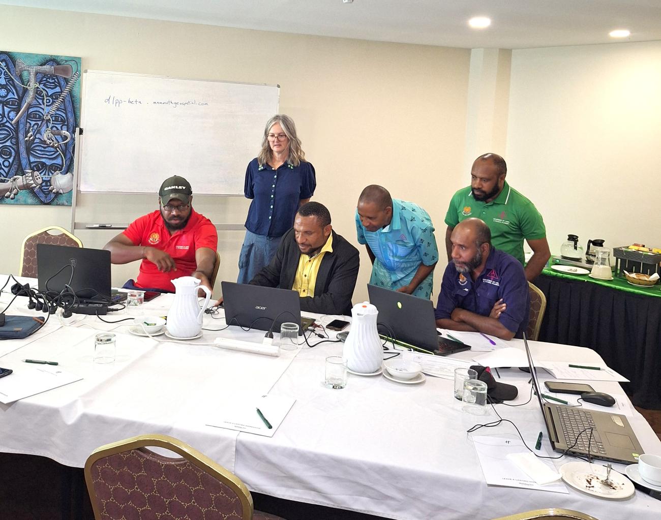
Port Moresby, 12 March 2025 – A core team of Geographic Information System (GIS) officers from the Department of Lands and Physical Planning (DLPP) commenced their second phase of training this week on the Land Use Information Management System (LUIMS). The training was facilitated by Mammoth Geospatial in collaboration with the UNDP “Establishing systems for sustainable integrated land-use planning across New Britain Island in Papua New Guinea” is part of the GEF 7 Food Systems, Land Use, and Restoration (FOLUR) Project.
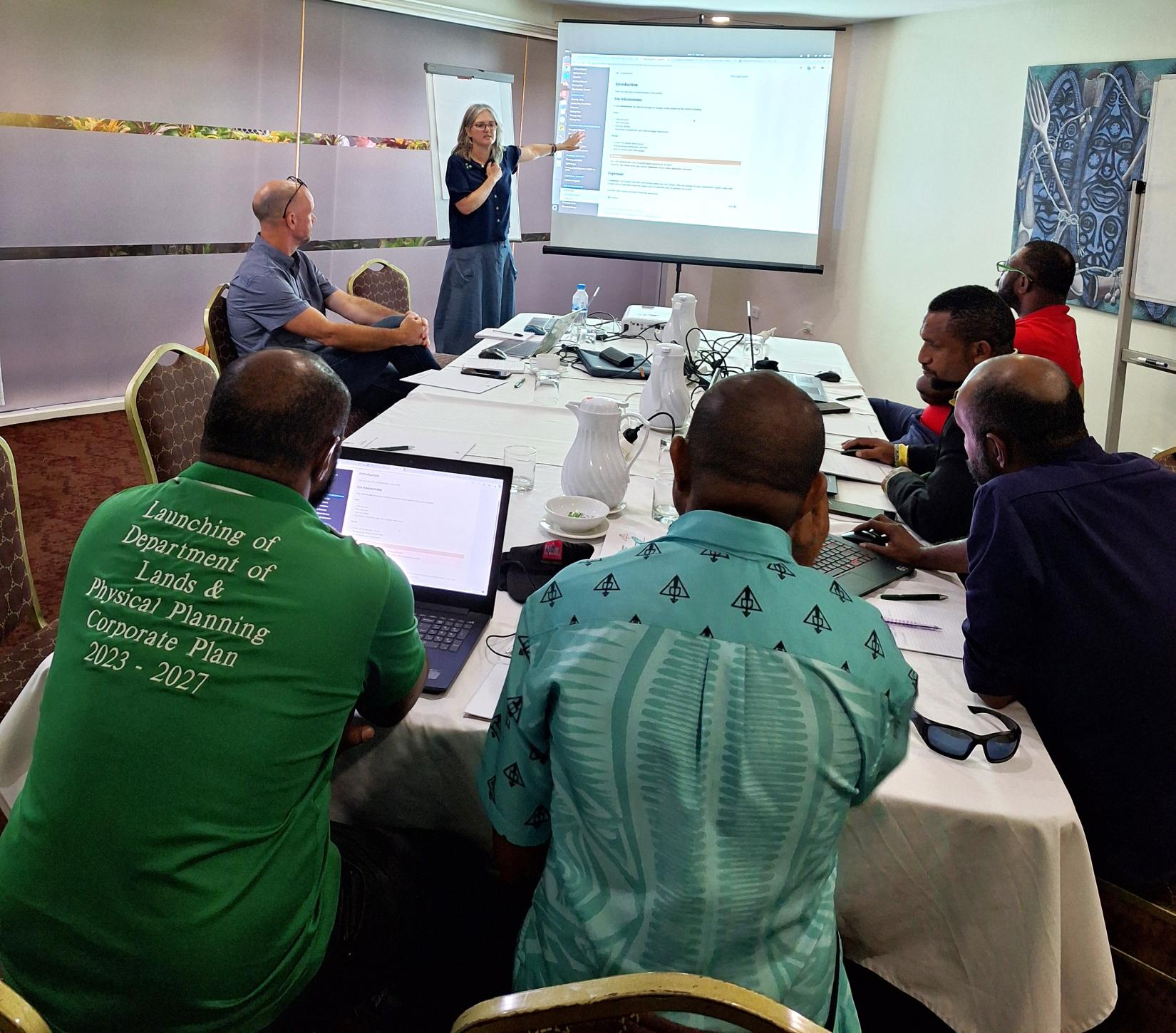
LUIMS, a cutting-edge platform developed to enhance sustainable land use planning in Papua New Guinea, has been well received by DLPP. The system is expected to be officially launched and handed over to the department in mid-2025.
The training focused on information management and system administration, equipping GIS technical officers from DLPP’s three technical divisions—Physical Planning, Survey, and the National Mapping Bureau—with the necessary skills to manage LUIMS effectively. The core team trained under this initiative will play a critical role in data sharing and management across government agencies and stakeholders. Additionally, they will serve as trainers for provincial-level officers and oversee the ongoing maintenance and operation of the LUIMS system.
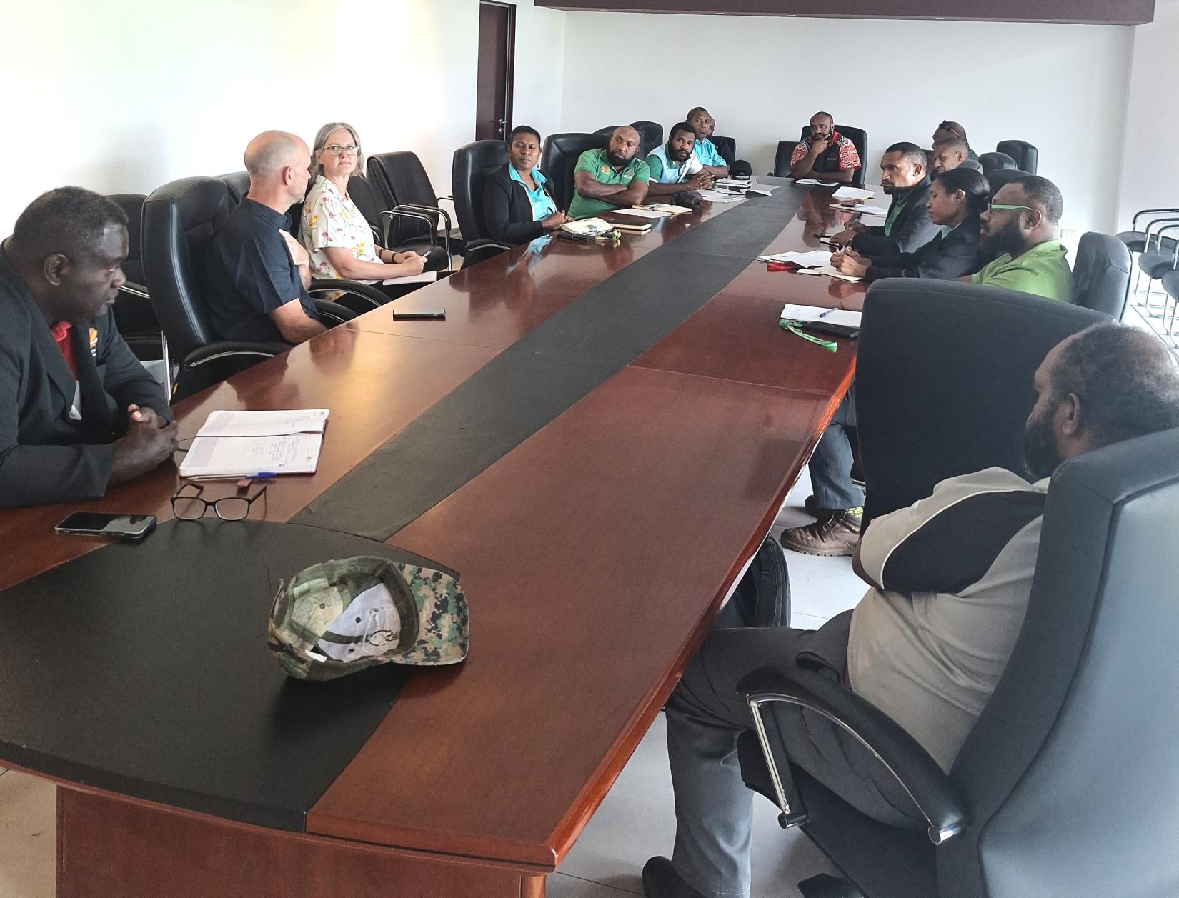
This specialized training and technical support is part of Component One of the GEF 7 FOLUR Project. It ensures that DLPP is well-prepared to integrate LUIMS into national land use planning strategies.
As the project progresses, LUIMS is expected to enhance transparency, efficiency, and sustainability in land management, contributing to improved decision-making processes across the sector.
Written by
Lorraine Basse
UN entities involved in this initiative
Goals we are supporting through this initiative


